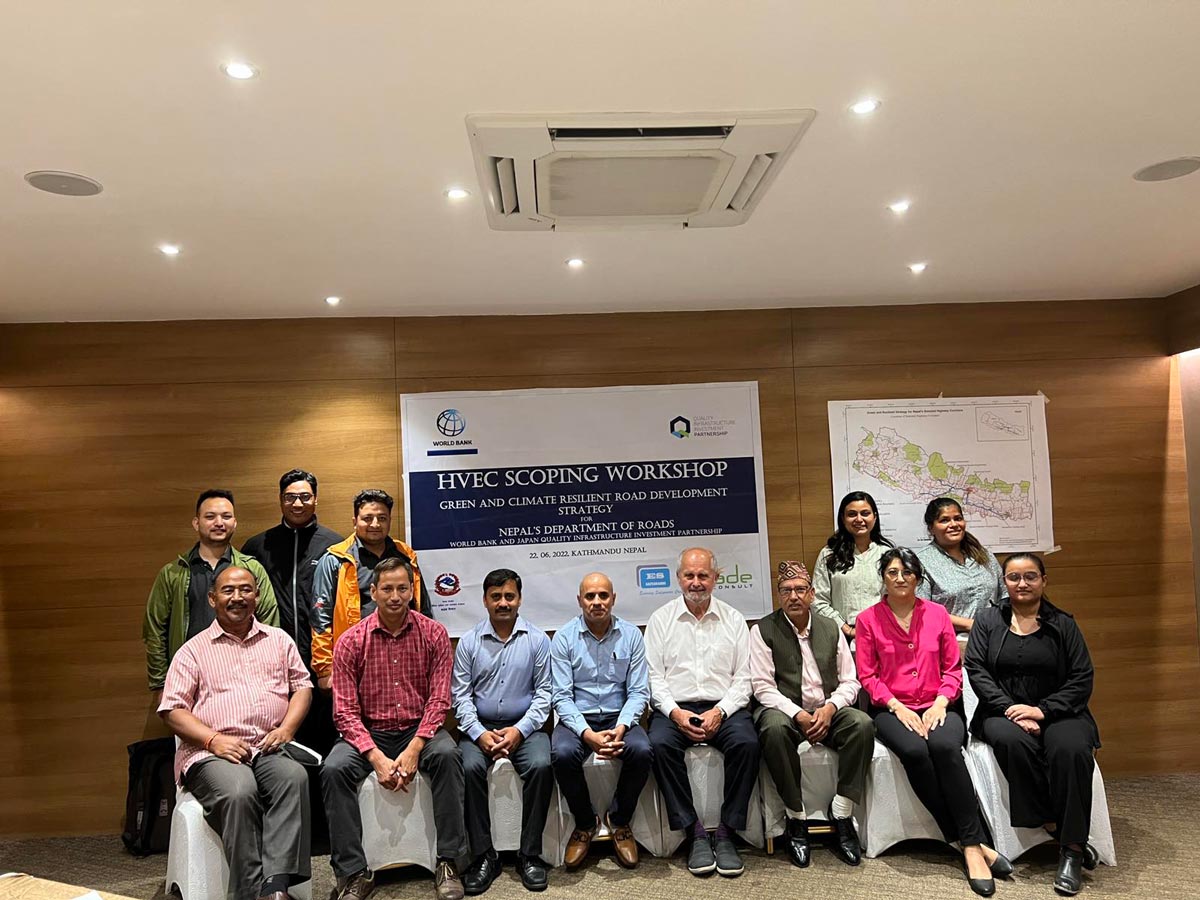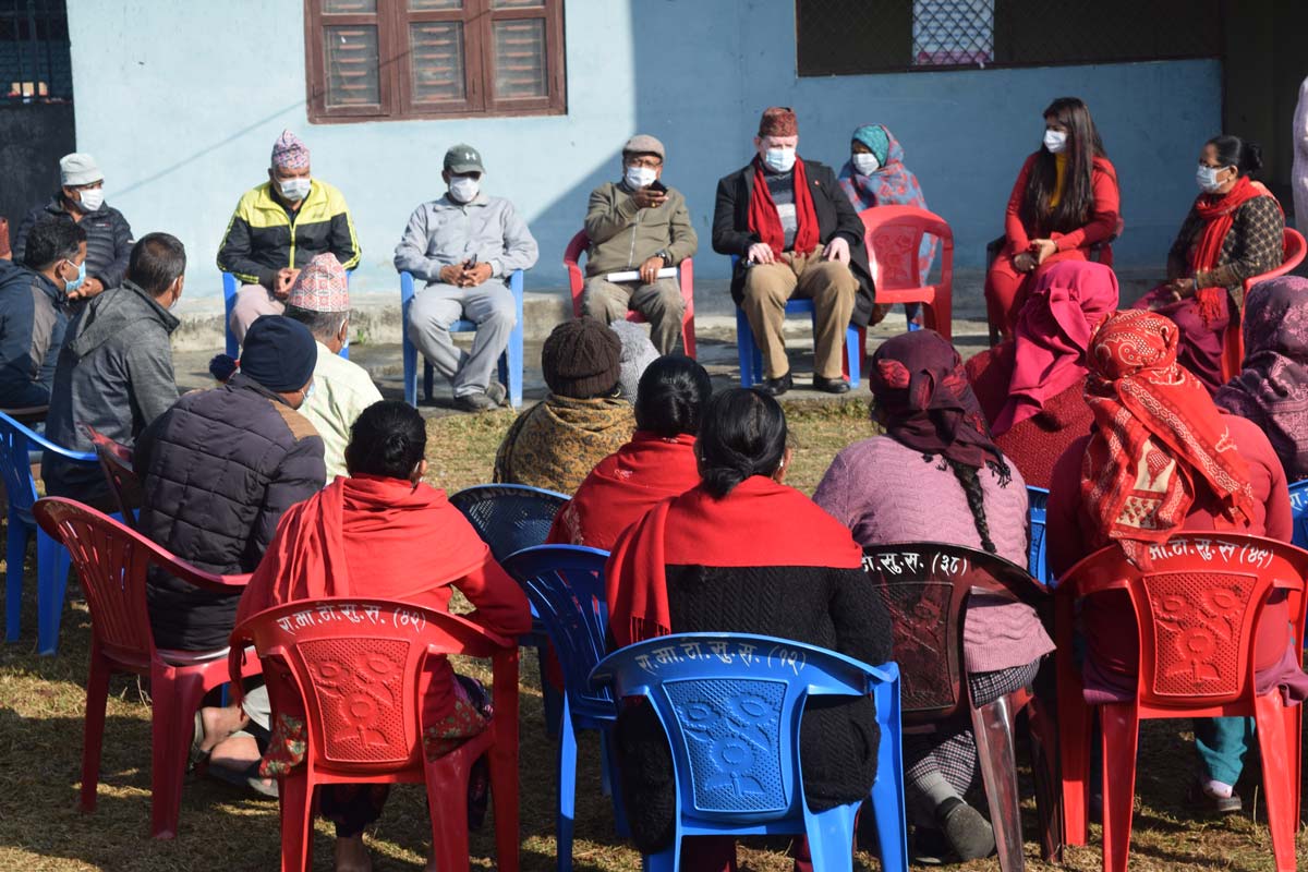
Environmental
& Social Studies
& Social Studies
Environmental
& Social Studies
& Social Studies
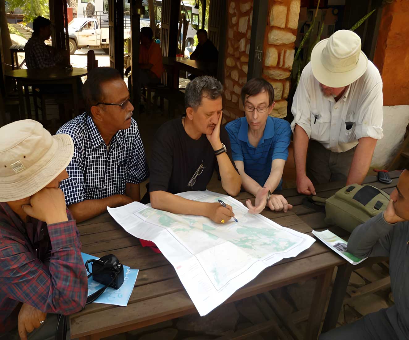
Environmental & Social Studies
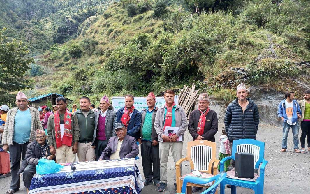
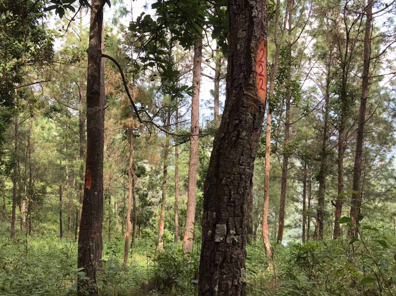
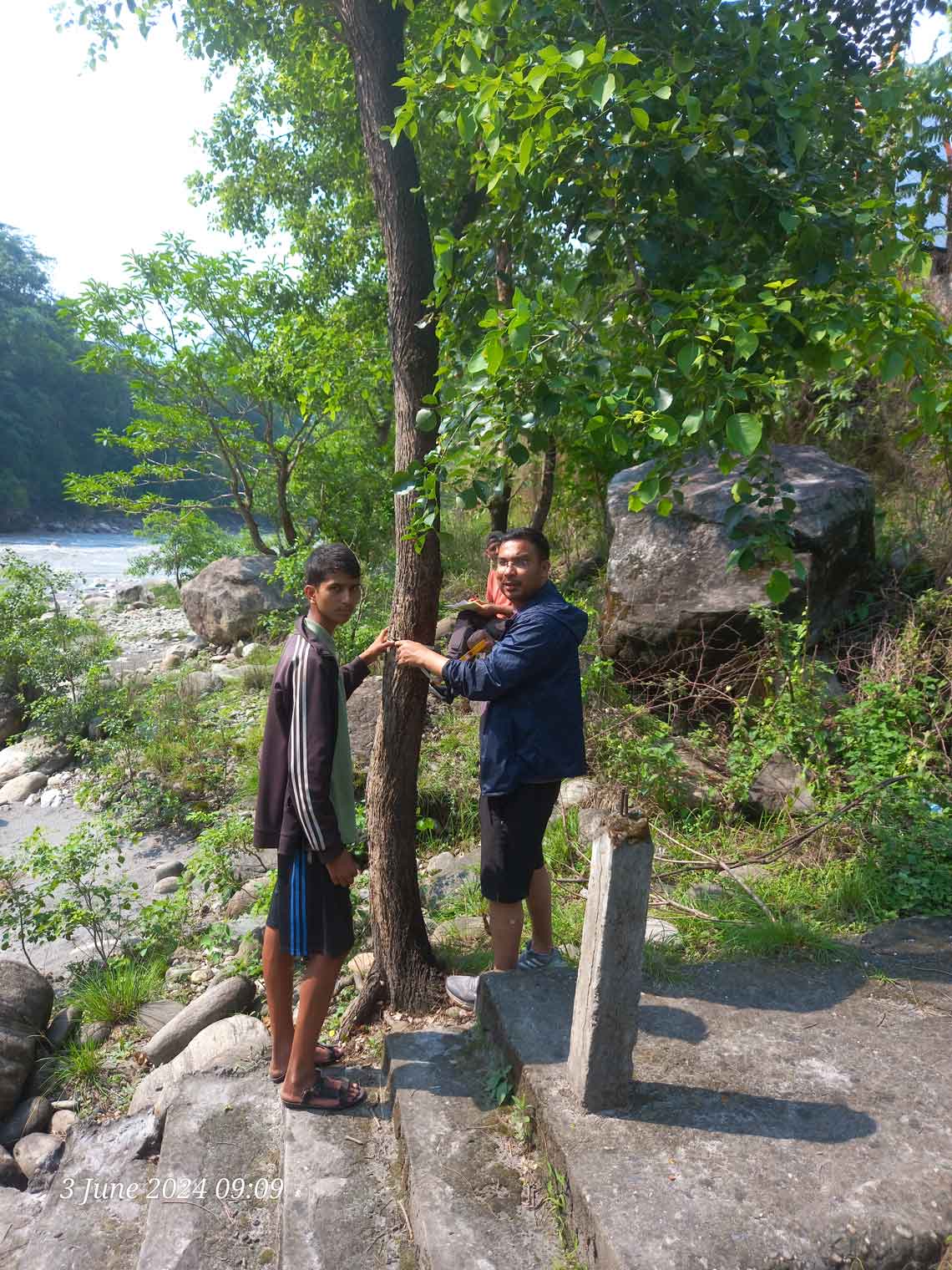
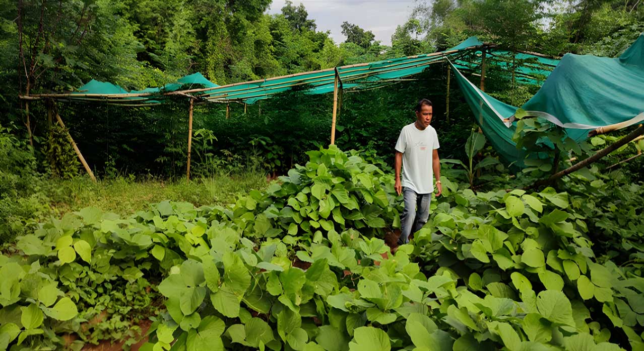
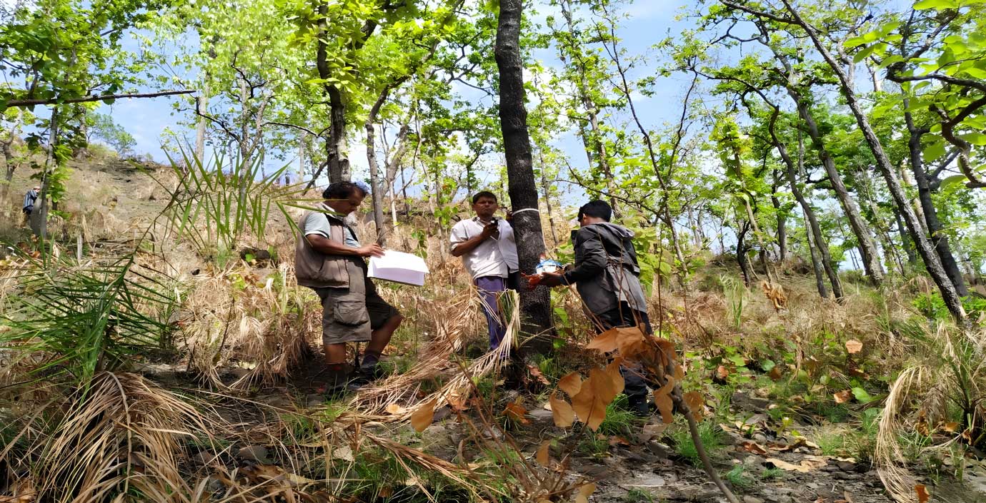
Plantation Area by the project
TThe Upper Chameliya Hydropower Project (UCHPP) is a run-of-the-river (ROR) project situated in the Darchula District of Nepal. Its main goal is to help meet the country’s increasing electricity demand, which has led to a rise in power imports from India over the past 15 years. The Department of Electricity Development, Government of Nepal, is spearheading the project’s implementation and seeks to attract private sector investment due to financial constraints faced by entities such as the Nepal Electricity Authority (NEA) and the government.
Client : Department of Electricity Development (funded by – Nepal Government)
Scope of Works: Preparation of Environmental Impact Assessment Report
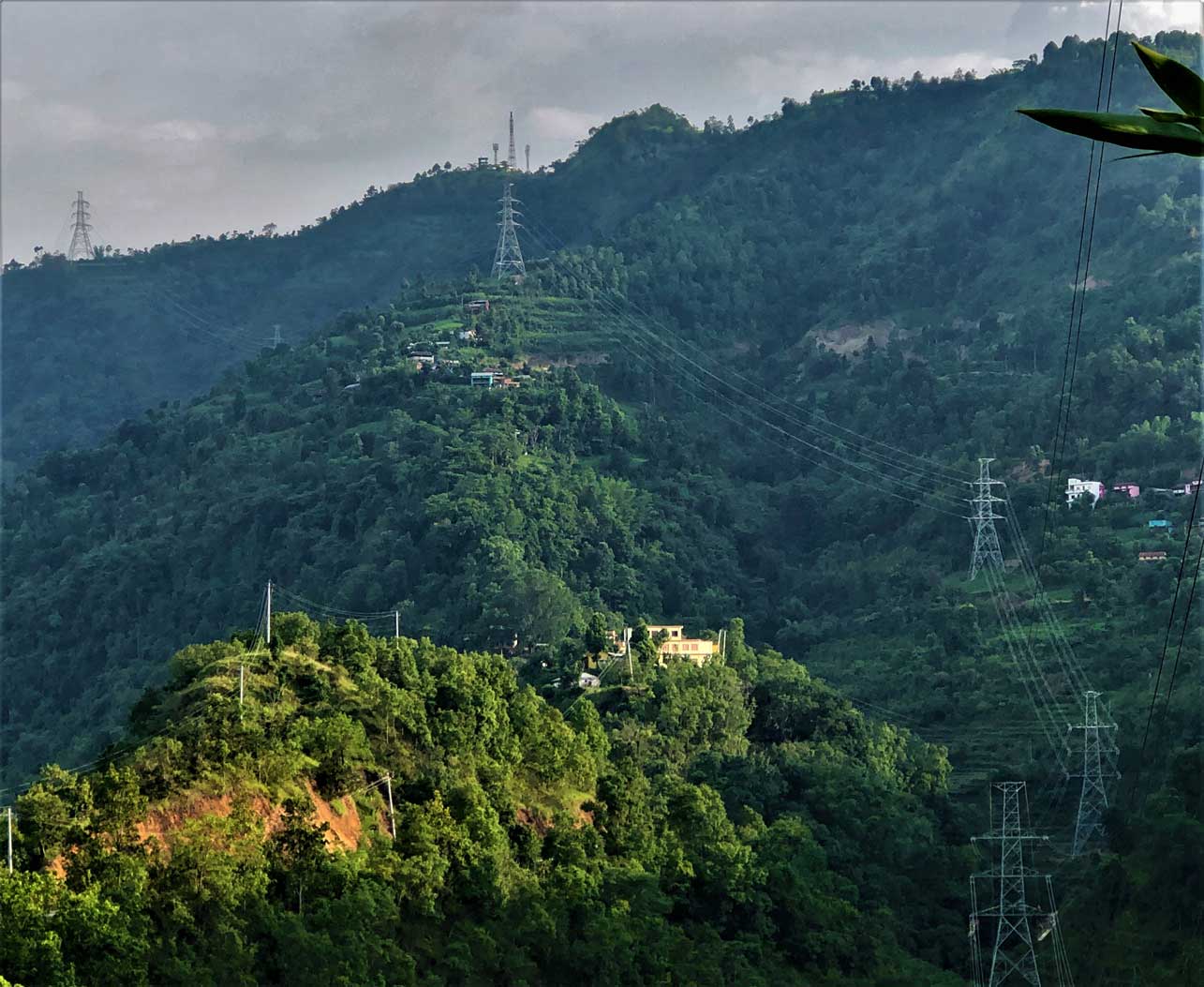
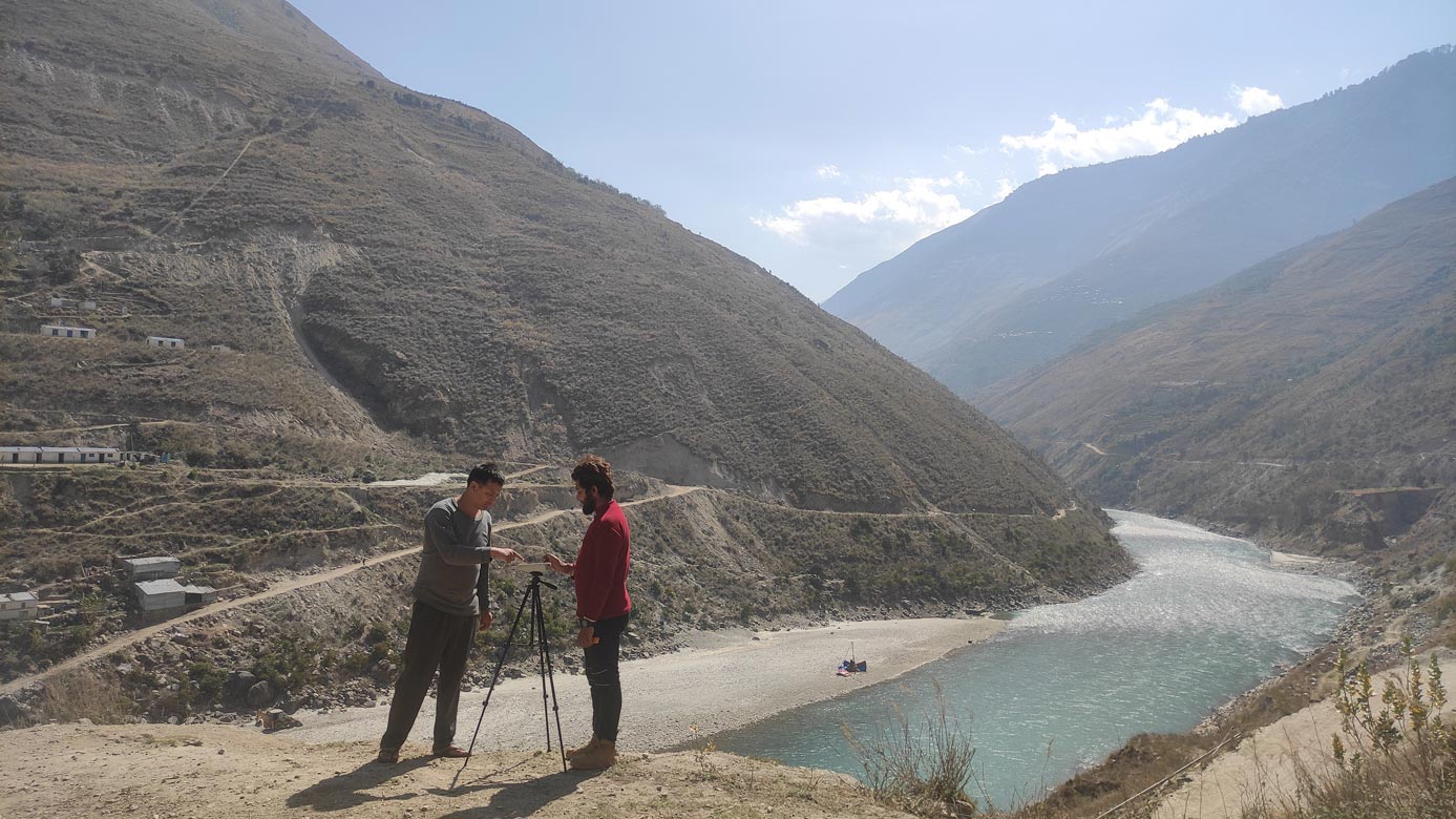
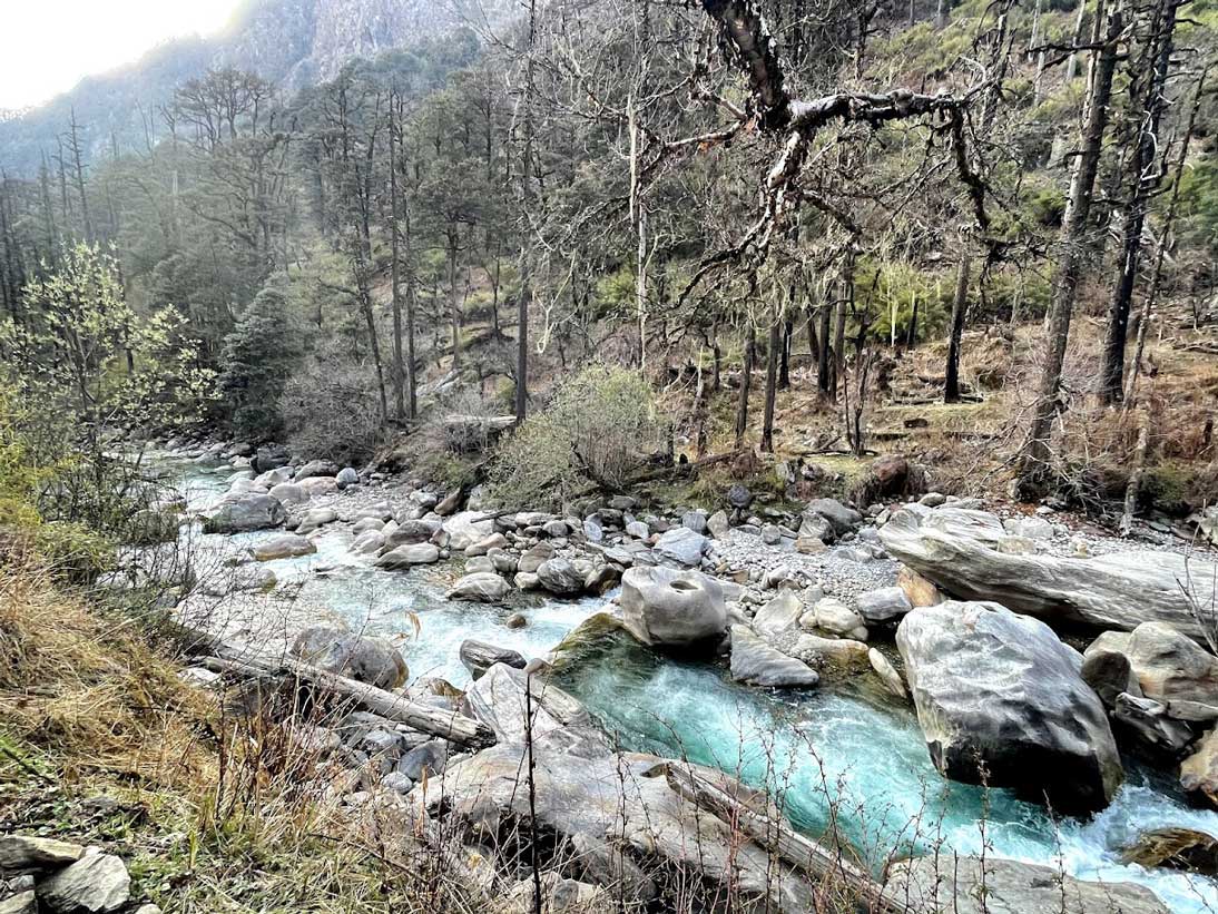
Project Features : Upper Chameliya Hydropower Project is located in Api Himal Rural Municipality of Darchula District in Sudurpaschim Province of Nepal. The area is included within Api Nampa Conservation Area. The projec boundary is at latitude 29°51’30” N to 29°54’30” N and longitude 80°53’43” E with elevation ranging from 2046 to 5077 masl. The total catchment area has been calculated as 194.21 km² with average annual precipitation of 2000 mm. Major structures of the project are Diversion Dam & Intake, Basin, Headrace Pipe, Surge Tank, Penstock Pipe, Powerhouse and Tailrace Canal. The powerhouse site is proposed at Lama Bagar of Lattinath VDC, Darchula district just on the confluence of Odkhet Khola and Chameliya River. The whole alignment runs along the left bank of the river.