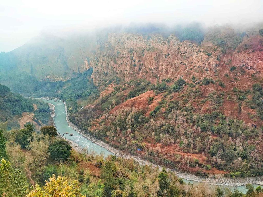
The proposed Kaligandaki Storage Hydropower Project lies in western part of Nepal. It will inundate some area of province 4 and province 5, namely the districts: Gulmi, Parbat and Baglung. The project boundary covers the area between latitudes 28֯ 16’ 32” N to 28֯ 09’ 25” N and longitudes 83֯ 42’ 32” E to 83֯ 36’ 11” E. The project has catchment area of approximately 6934.15 km2 at the most downstream dam location The most downstream location of the dam for which a toe of dam power station can be built is about 2 km upstream of Setibeni, the confluence of Kaligandaki and Seti Khola.
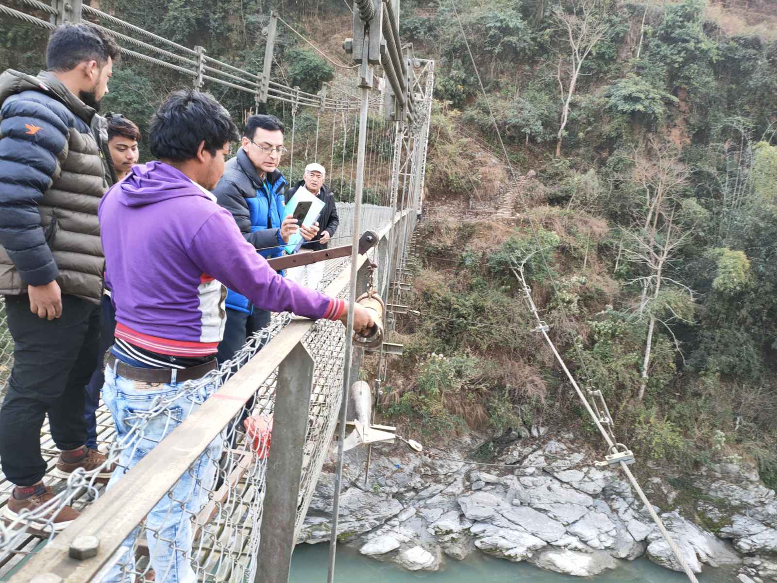
Activities; i) Conduct desk study and field reconnaissance survey, analyze the available data and identify data gap of previous study & recommend the further additional study needed with justification. ii) Prepare preliminary project layout and configuration (at least three options), examine alternative configuration(s) of project component in inception survey for further field survey and investigation. iii) Topographical survey including Longitudinal sections (L-section) and Cross sections (X-section). iii) Hydrological studies, sediment study and hydro-meteorological study. Geological survey, bathymetric survey, engineering geological mapping, geophysical and geotechnical investigations including drilling, seismicity/seismic study. iv) Construction materials survey and testing. v) Alignment survey of the 220kV / 400kV transmission line.vi) Feasibility survey of access and project road. Prepare feasibility study report with full documentation on the actual design including all design principle criteria, parameters and standards to which the project has been designed.
Client: Department of Electricity Development (DoED)
Related posts:
 SASEC (South Asian Sub Regional Economic Cooperation) Power System Expansion Project – Project Supervision Consultant
 Environmental & Social Studies
 Owner’s Engineer and Supervision Services for 216 MW Upper Trishuli – I Hydroelectric Project
 Hydropower
 Resettlement & Rehabilitation (R&R) and Resettlement Action Plan for the Diding – Dhalkebar – Indo Nepal International Border of 400 kV D/C Diding (Nepal) – Muzzafarpur (India) Transmission Line system for Evacuation of Power from Arun –3 HPP
 Owner’s Engineer for Hetauda – Dhalkebar – Duhabi 400 kV Transmission Line Project
